PilotPilot, awaiting educator review. These pages are a first version for teachers and school leaders to review before launch. Facts are checked against the sources listed on each page.About this pilot
Geography & Maps
Islands, mountains, rivers, climate and where each country sits on the map.
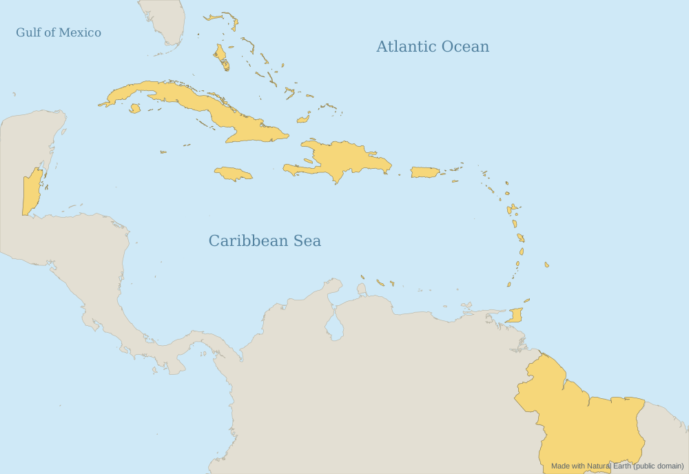
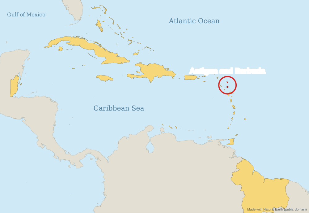
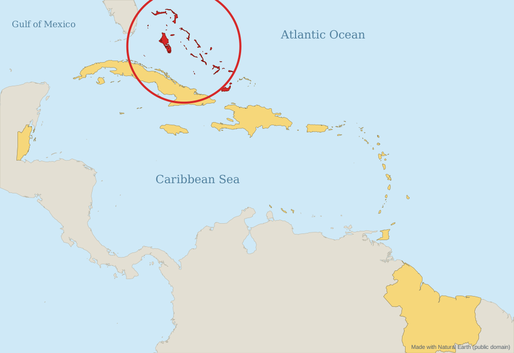
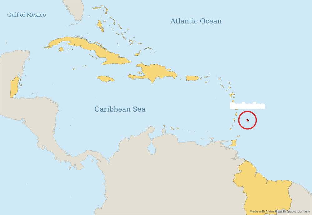
Red dots: countries with a full profile (select one to open it). Small dots: profiles coming soon. Map made with Natural Earth data (public domain).
The Bahamas is a chain of hundreds of low coral islands and cays in the Atlantic Ocean, north of Cuba and south-east of Florida. The land is mostly flat; the highest point is only about 64 m.[1][2]
Barbados lies in the south-eastern Caribbean, about 160 km (100 miles) east of Saint Vincent and the Grenadines. It is roughly triangular, about 32 km long and 25 km wide.[2]
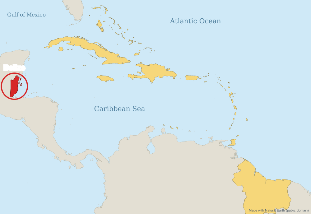
Belize is on the Caribbean coast of Central America, between Mexico and Guatemala. The Belize Barrier Reef is the second-largest barrier reef in the world and a UNESCO World Heritage Site.[1][3]
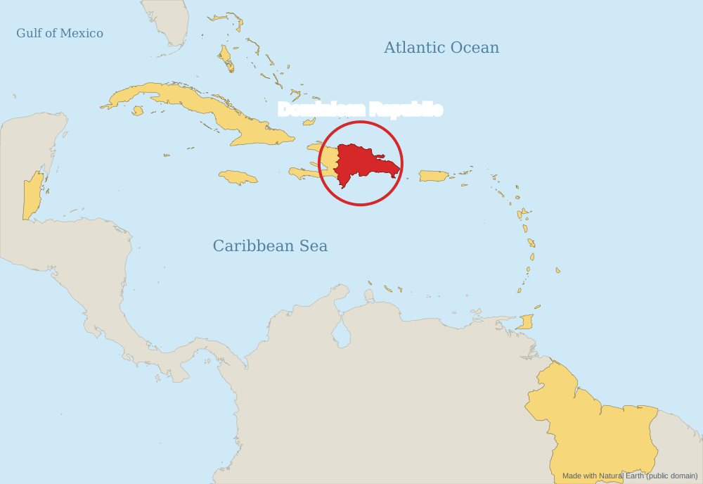
The Dominican Republic covers the eastern two-thirds of Hispaniola, which it shares with Haiti. It is the second-largest country in the Antilles, after Cuba, with the Caribbean Sea to the south and the Atlantic Ocean to the north. The Mona Passage separates it from Puerto Rico.[1][2]
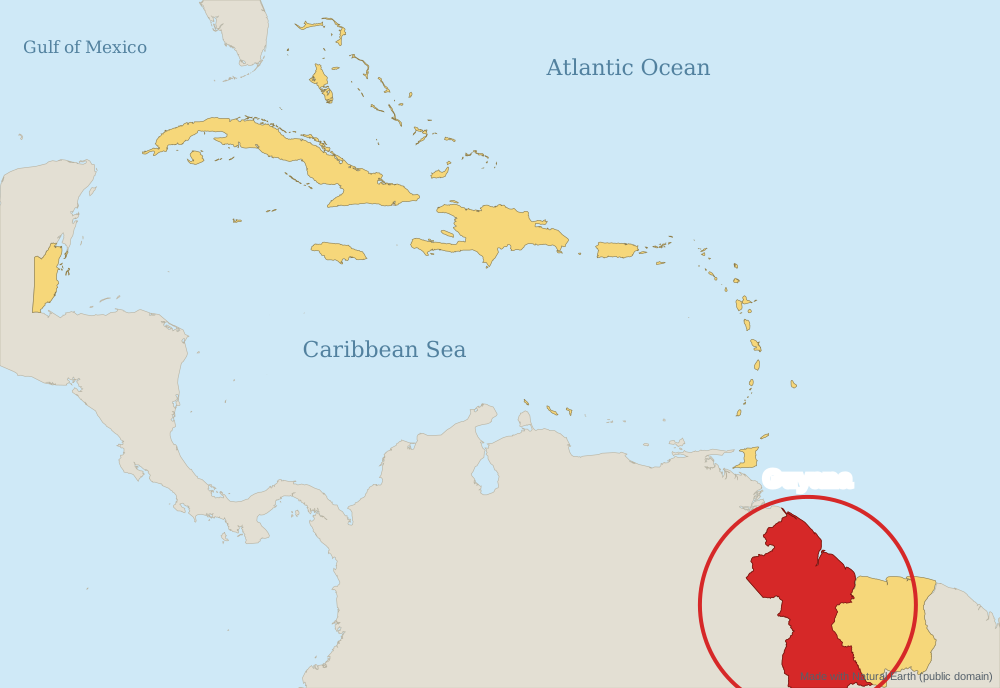
Guyana is on the north-east coast of South America, bordered by Venezuela, Brazil and Suriname. Most people live on the narrow coastal plain; the interior is rainforest, savannah and highlands.[1][2]
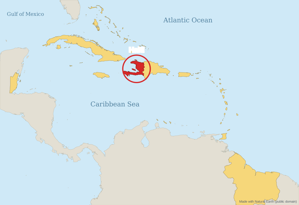
Haiti covers the western third of the island of Hispaniola, which it shares with the Dominican Republic. It also includes smaller islands such as Gonâve and Tortue (Tortuga). Cuba lies about 80 km (50 miles) to the west across the Windward Passage.[1][2]
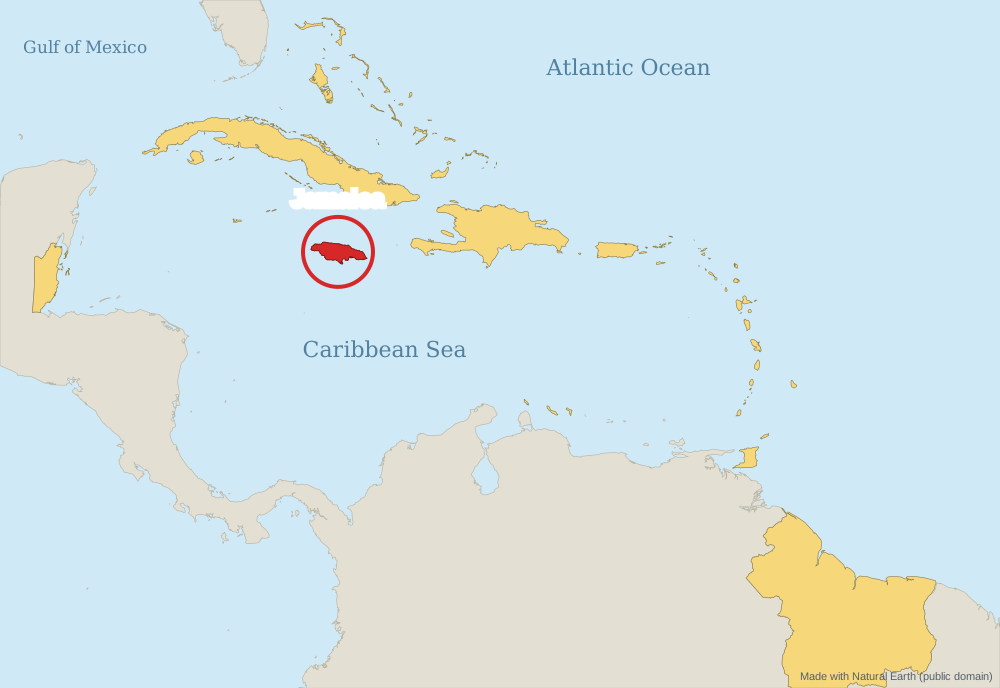
Jamaica is the third-largest island in the Caribbean, after Cuba and Hispaniola. It lies about 150 km (90 miles) south of Cuba and about 160 km (100 miles) west of Haiti.[1][2]
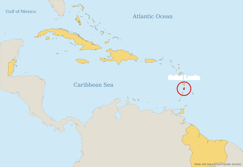
Saint Lucia is a mountainous volcanic island in the Windward Islands, between Martinique and Saint Vincent. The Pitons, two volcanic spires, are a UNESCO World Heritage Site.[1][2][3]
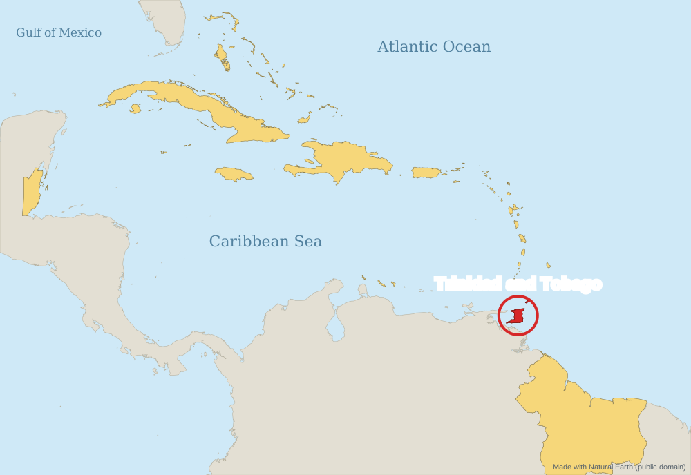
The country is made up of two main islands and several smaller ones. They are the southernmost islands of the Caribbean chain: Trinidad is only about 11 km (7 miles) from Venezuela. Tobago lies about 30 km (20 miles) north-east of Trinidad.[2]